
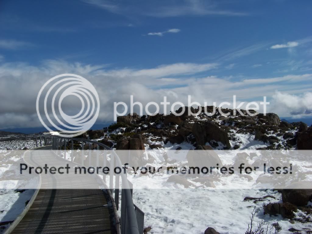
After the cold top of Mt Wellington we journied south seeking the access to the ferry to Bruny Island. We did not have enough time to do justice to tour round Bruny so we decided to make this a 'scouting mission', sort of a 'Terrain Recon' .
We took the A6 highway out of Hobart and headed down what was, at first, a very good 4 lane divided highway to Kingston. Kingston is a township and region on the outskirts of Hobart, 15km south of the city between and around several hills. Kingston is an outer dormitory suburb of Hobart and, like Margate, is experiencing a building boom and as "Paradise Found" becomes rapidly developed it then becomes "Paradise Lost".

Source: http://www.kingborough.tas.gov.au/site/page.cfm?u=200
Kingston serves as the gateway between Hobart and the d'Entrecasteaux Channel region, which meets the Derwent River nearby. It one of the fastest growing regions in Tasmania. The d'Entrecasteaux Channel is a region of water between Bruny Island and the south-east of the mainland of Tasmania. It extends between the estuaries of the Derwent, and the Huon Rivers. It was sighted by Abel Tasman in 1642, and surveyed in 1792 by Bruni d'Entrecasteaux.

Towns on the d'Entrecasteaux Channel include the amusingly named Sandfly, Snug and Flowerpot as well as Margate, Kettering, Woodbridge, Middleton and Gordon.
From Kingston you continue on the A6 as the Huon Highway and turn off on the C622 Sandfly Road to Margate. We didn't stop until we refueled the car at Margate BP where petrol costs were $1.38 (AUS) a litre and we were told we could not park on the precincts while we shopped for some food but were told "There was a 'free carpark' across the road at a Pizza shop". We decided to drive on and spend our other mainland dollars elsewhere. So we drove on through Barretta, Electrona, Snug, Lower Snug and Oyster Bay before we encountered Kettering and the signpost to the Bruny Island Ferry.
By this time we were famished. The road (really a 'laneway') to the ferry was unkerbed and tightly parked, so a warning - if you are going to Kettering parking is 'tight'. You may be advised to park in the ferry carpark and 'hoof it'!

Ferry to Bruny island docked at Kettering.

Vehicles wait to board the ferry as others exit.
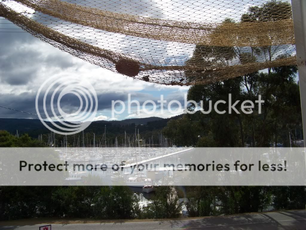
Access along the ferry road was bordered by marine establishments on the water side and houses on the hill side with very little room to pull over and most commercial parking areas were signed "customers only".


Kettering was 'quaint', tho' obviously a 'port in demand' for the bluewater sailor and fisher-types
We located a little take away cafe and managed to squeeze the car into a legal spot and bought some fresh caught local flathead fillets and an order of chips - we only asked for two pieces of fish but later discovered he had battered and cooked four pieces and gave us oodles of chips. We also purchased some soft drinks to take with us, all for $15 (AUS) and enjoyed the view from the cafe verandah while we waited.
We asked if there was somewhere nearby where we could eat and were directed to a roadside rest spot about a kilometre south.
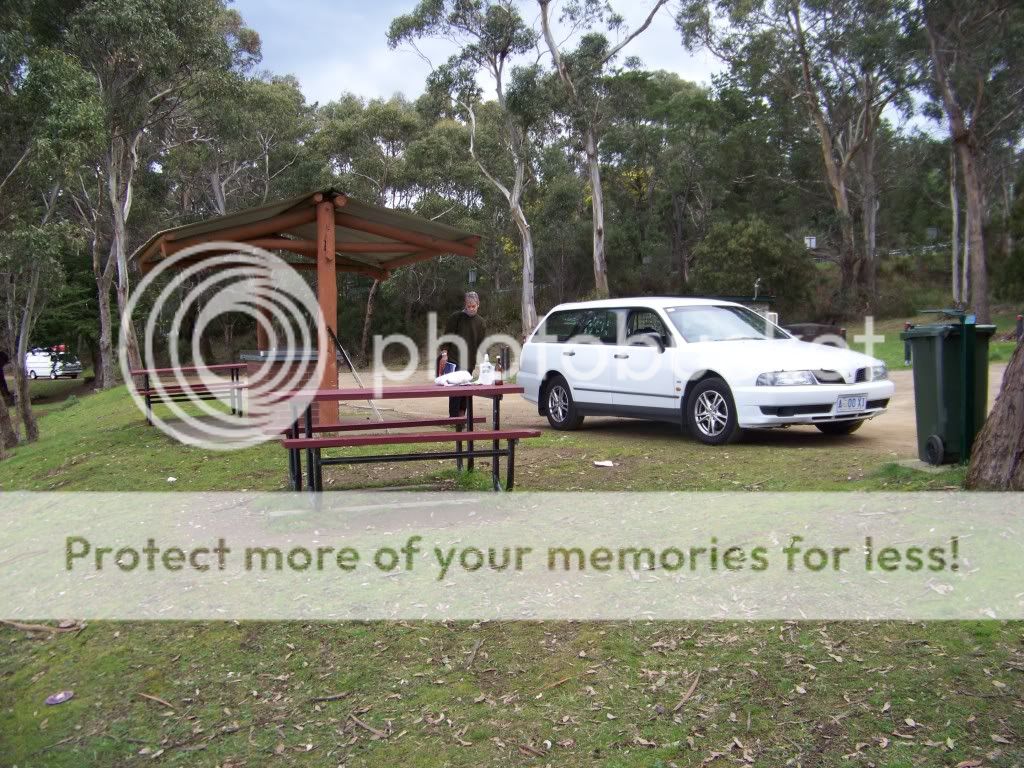
The area and amenities were clean and the locals were friendly.

obviously a seabird, a gull of some type much larger than their friends nearby and they were higher on the pecking order for access to chip scraps (I know - you should not feed seagulls!)
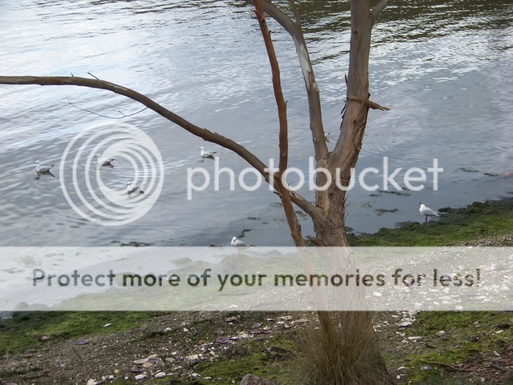
Still, it was pleasant to sit near the lapping waters, watching schools of smallfish being chased by larger predators in the bay, gazing across d'Entrecasteaux Channel to Bruny Island and chatting to a local recreational fisherman.
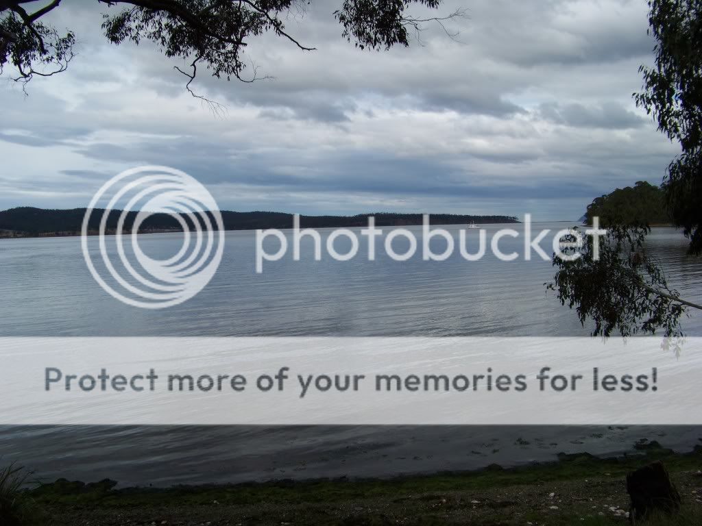
The Bruny Island ferry docks on the island at a spot on the far left of this picture - a very short trip..
We returned up the road to Oyster Bay and again picked up the Channel Highway C626 and followed its meandering course to Woodstock and turned up route C621 to Upper Woodstock, through winding forest roads to Pelverata and Kaoota.
The tight winding road took us around the edge of the Wellington Park and we could see Mt Wellington rising up before and then beside us. This sparsely populated area was notable for the 'little sheds' we saw at the bottom of long steep property driveways which looked like outside toilets (in many cases) but we later discovered were bus stop shelters for the residents to wait for their bus service in inclement weather.
Eventually we hit the Huon Highway - the A6 - and were soon back in Hobart. We never really got to see the Huon River and Huonville but they are on our agenda for our next trip to Hobart.
1 comment:
snow.........you have just reminded me of what we will be expecting in a couple of months time!!
Great photos and details. Its ages since I have had "good" fish and chips.
Gill in Canada
Post a Comment